
Google Earth Adds Gemini-Powered Geospatial Search and Map Analysis on the Web
Google Earth is expanding its web experience with experimental Gemini capabilities that let eligible users query map context and search satellite and aerial imagery.
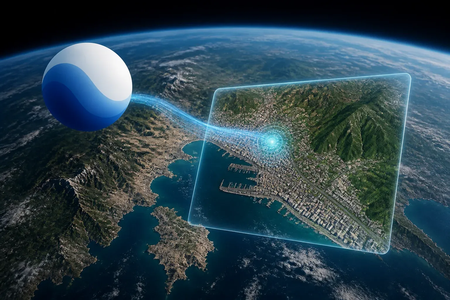
Google Earth on the web is gaining experimental Gemini-powered geospatial capabilities that bring natural-language map analysis and imagery discovery into the product. Google’s documented rollout centers on Ask Google Earth, a chat interface for analyzing geospatial information in map context, and Imagery search, a multimodal capability for finding relevant content across satellite and aerial imagery.
The development is significant because it moves AI assistance closer to the place where location data is viewed and interpreted. Instead of treating a map as a static visual layer, eligible Google Earth users can use prompts that incorporate the active map viewport, selected features, or defined areas of interest. Google describes the experience as experimental and currently targets Professional and Professional Advanced users in the United States.
The verified documentation supports a more specific picture than a broad image-generation launch. The immediate product story is context-aware geospatial querying and imagery search within Google Earth on the web. Google outlines the setup and use of these features in its official Gemini capabilities for Google Earth documentation.
What Gemini capabilities add to Google Earth
Ask Google Earth provides an interactive chat interface inside the web-based Earth experience. Its purpose is to help users analyze geospatial data through prompts tied to what is already visible or selected in the map. This makes the map context part of the query rather than requiring users to describe every relevant geographic detail manually.
The related Imagery search feature applies a multimodal model to satellite and aerial imagery in Google Earth on the web. It is designed to search imagery directly, helping users discover potentially relevant visual results within a location-based workflow.
| Capability | Primary function | Documented map context | Key limitation |
|---|---|---|---|
| Ask Google Earth | Interactive chat for geospatial analysis | Current viewport, selected features, or areas of interest | Experimental availability for eligible users |
| Imagery search | Multimodal search across satellite and aerial imagery | Imagery within Google Earth on the web | Up to 30 results; results are not a definitive inventory and require visual verification |
That distinction matters for professional use. A chat-enabled Earth interface can reduce friction when exploring a region, selecting an area, or connecting a question to visible map data. Imagery search addresses a different task: locating visual evidence or candidates in large imagery collections. Together, they point to a more interactive method of working with Google Earth, while still leaving human users responsible for interpreting and validating output.
For enterprise mapping teams, the potential value is in faster discovery and preliminary analysis, not an automated replacement for established geospatial review. The documentation explicitly says Imagery search is evolving and non-authoritative. Its results should therefore be treated as leads to inspect visually, particularly when a workflow depends on completeness, accuracy, or a defensible inventory.
Education is another plausible setting for the interface. Natural-language prompts connected to a live map could make it easier to explore how a place, feature selection, or area of interest relates to available geospatial data. However, educators and students should retain the same verification discipline as professional users, especially when interpreting search results from imagery.
Organizations assessing how AI-assisted geospatial workflows could fit their mapping tools can work with Scalevise on AI architecture, workflow automation, and integration planning.
Availability, access, and operational limits
Google characterizes the capabilities as experimental, rather than generally available product functionality. The supplied documentation says they are currently aimed at Google Earth Professional and Professional Advanced users in the United States. That means organizations outside those user categories or regions should not assume access.
The documented experience is specifically Google Earth on the web. The supplied material describes no standalone API access, pricing details, or data-retention terms for these Gemini capabilities. Teams evaluating the feature for operational use should therefore confirm access, commercial terms, and data-handling requirements with Google before incorporating it into a production workflow.
Imagery search also has explicit result constraints:
- It returns up to 30 results.
- It is not intended to be a definitive inventory of what appears in imagery.
- Google says results should be visually verified.
- Google describes the tool as evolving and non-authoritative.
These constraints are important for use cases such as site review, asset discovery, planning, or research. AI-assisted discovery can narrow a search space, but a limited result set cannot by itself demonstrate that all relevant items have been found. The appropriate role is to support investigation inside Earth, with validation steps proportionate to the decision being made.
Frequently Asked Questions
What are Gemini capabilities in Google Earth?
Gemini capabilities in Google Earth are experimental web features that include Ask Google Earth for chat-based geospatial analysis and Imagery search for multimodal searches across satellite and aerial imagery.
Who can use Ask Google Earth and Imagery search?
Google’s supplied documentation says the experimental capabilities are currently targeted at Professional and Professional Advanced users in the United States.
Can Imagery search be used as a complete inventory?
No. Google says Imagery search returns up to 30 results, is not a definitive inventory, and its results should be visually verified.
Does the supplied documentation list an API, price, or privacy terms for these features?
No. The supplied documentation describes the Google Earth web experience but does not provide standalone API access, pricing details, or data-retention terms for the Gemini capabilities.
Conclusion
Google Earth’s Gemini integration brings chat-based map analysis and imagery discovery into a familiar geospatial interface. For eligible US Professional users, the experimental tools could make exploration and initial data discovery more direct. Their documented limits are equally important: imagery results are capped, non-authoritative, and meant to be checked by people before they inform consequential work.