
EU BirdWatch Uses Copernicus Data and AI to Target Farmland Bird Conservation
BirdWatch is developing a Copernicus-based monitoring service to assess farmland bird habitat suitability and help focus conservation measures across the EU.
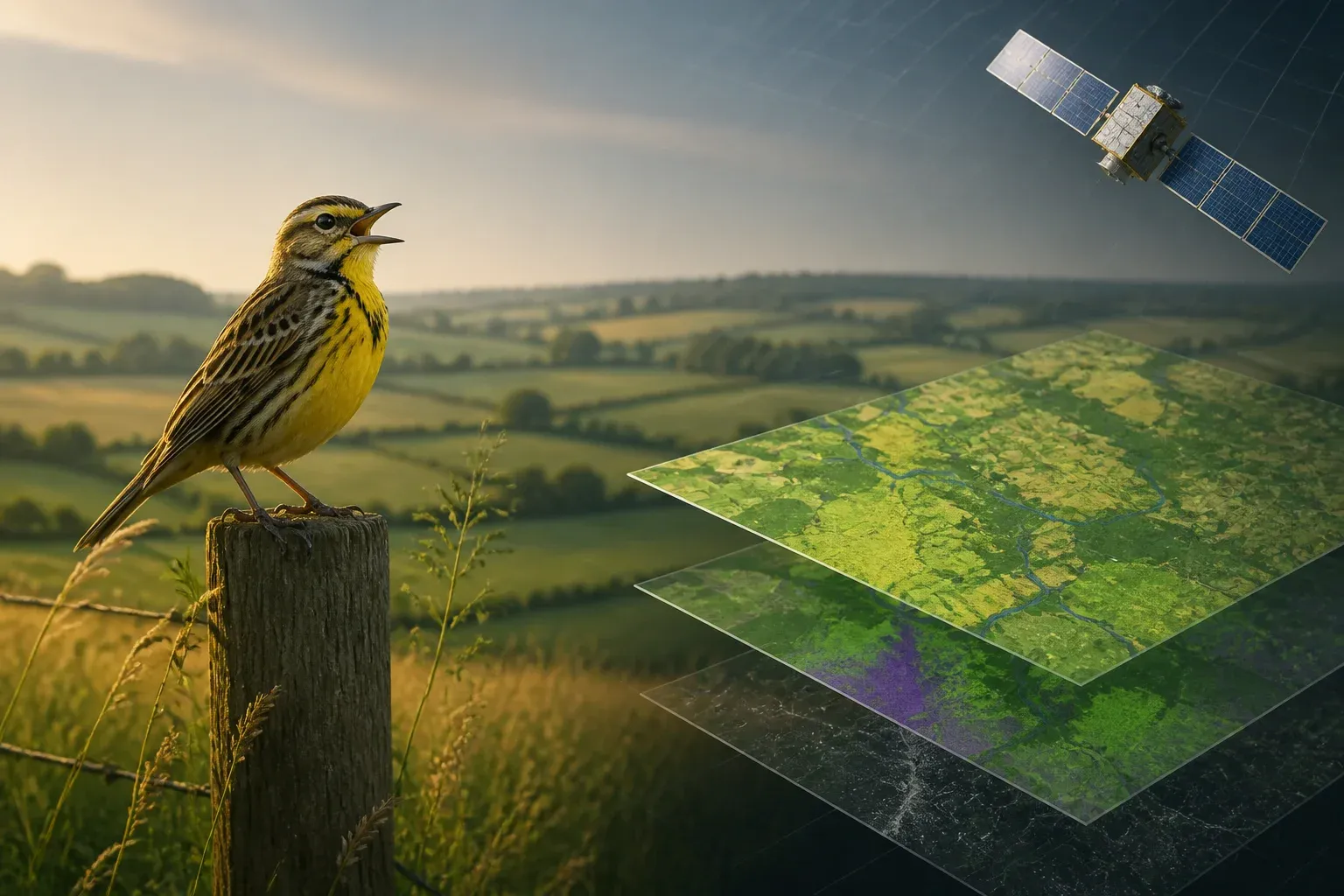
The EU-funded BirdWatch project is building a Copernicus-based service that uses satellite observations and artificial intelligence to map habitat suitability for farmland birds across the European Union. Its purpose is practical: give policymakers and conservation stakeholders evidence that can help direct habitat interventions and Common Agricultural Policy, or CAP, greening measures to places where they may have the greatest effect.
Farmland birds are closely tied to agricultural landscapes, making habitat conditions and land-management choices central to conservation planning. BirdWatch addresses that challenge with Earth Observation data and models rather than relying only on local assessments. According to the European Commission's CORDIS project record for BirdWatch, the initiative aims to improve farmland bird habitat suitability through satellite-enabled monitoring, evaluation and optimisation of CAP greening measures, including a freely available EU-wide monitoring tool.
The project is significant because it connects three areas that are often handled separately: satellite data, ecological modelling and agricultural policy. Rather than treating geospatial analytics as a standalone technical exercise, BirdWatch is designed to make its outputs useful for region-specific eco-schemes and agri-environmental interventions.
From satellite observations to conservation decisions
BirdWatch uses Earth Observation data from Copernicus, the EU's Earth-observation programme, alongside AI to assess where farmland conditions are more or less suitable for birds. The project's stated outputs include habitat-suitability maps derived from satellite data and models. These maps can provide a more consistent basis for examining conditions across a large and varied agricultural area.
The approach does not turn a suitability map into a direct census of birds. Instead, it is intended to help users evaluate habitat conditions and identify areas where conservation measures could have the greatest impact. That distinction matters for governance: a modelled assessment can inform decisions, but it should be considered alongside the ecological expertise, local knowledge and monitoring processes relevant to a specific region.
| BirdWatch element | Role in the service | Intended conservation or policy use |
|---|---|---|
| Copernicus satellite observations | Provide Earth Observation data for monitoring and assessment | Support analysis of farmland habitat conditions across the EU |
| AI and habitat models | Derive farmland bird habitat-suitability maps from data | Identify where conservation actions may have the greatest impact |
| Monitoring tool | Provide a freely available way to monitor habitat suitability | Inform CAP greening measures, eco-schemes and agri-environmental interventions |
Why CAP alignment is central
CAP greening measures and related interventions are a core part of BirdWatch's policy context. The project is not simply producing environmental data for academic use. Its system requirements and project documentation position the service as a tool that can inform choices about agricultural environmental measures at regional level.
That alignment could make a difference in how conservation resources are prioritised. If habitat-suitability assessments reveal meaningful variation between locations, institutions can use the evidence to focus evaluation and intervention rather than applying the same assumptions everywhere. The project does not promise that a map alone will resolve conservation outcomes, but it is designed to improve the information available when measures are planned and assessed.
A governance use case for AI-enabled geospatial analytics
BirdWatch also offers a concrete example of how AI can be applied in public-interest decision-making. Its value rests less on automation for its own sake than on translating satellite observations into information that can support environmental governance. The relevant question for users is whether the resulting analysis is sufficiently usable, transparent and locally relevant to guide action.
For public bodies and organisations working with environmental data, the project highlights several implementation considerations:
- Purpose-built outputs: Habitat-suitability maps need to answer a defined conservation or policy question, not merely visualise data.
- Regional context: The system is intended to support region-specific eco-schemes and interventions, recognising that agricultural landscapes differ.
- Human decision-making: Satellite-derived modelling can strengthen planning and evaluation, while ecological and policy judgement remain essential.
- Accessible monitoring:** BirdWatch's objective of a freely available tool could broaden access to consistent habitat-suitability information across the EU.
The project remains underway and continues to publish updates. Its progress will therefore be important to watch not only for conservation technology, but also for the practical question of how project outputs are adopted in agricultural and environmental decision-making.
For agricultural agencies, conservation organisations and land-focused businesses, BirdWatch shows why geospatial evidence is becoming central to environmental decisions. Scalevise helps teams translate AI and data capabilities into accountable operating plans, covering requirements, governance and implementation priorities. A Scalevise AI consultancy can help clarify where satellite-derived analytics fit alongside existing data, policy obligations and human review. Request a consultation to discuss an AI implementation roadmap.
Frequently Asked Questions
What is the EU BirdWatch project?
BirdWatch is an EU-funded Horizon Europe initiative developing a Copernicus-based service to monitor and improve habitat suitability for farmland birds across the European Union.
How does BirdWatch use AI and satellite data?
The project uses Earth Observation data from satellites and AI-supported models to produce maps assessing habitat suitability for farmland birds.
What is BirdWatch intended to support?
BirdWatch is designed to help identify where conservation measures could have the greatest impact and to inform CAP greening measures, region-specific eco-schemes and agri-environmental interventions.
Will BirdWatch provide a public monitoring tool?
The CORDIS project description states that BirdWatch aims to deliver a freely available tool for monitoring farmland bird habitat suitability across the EU.
Conclusion
BirdWatch demonstrates how Copernicus data and AI can be connected to a specific environmental policy challenge: improving the evidence used to protect farmland bird habitats. By focusing on habitat suitability, targeted interventions and CAP-related measures, the project frames geospatial analytics as a decision-support capability. Its ultimate value will depend on how effectively its monitoring outputs are integrated into regional conservation and agricultural planning.